1. Sunset and sunrise and the SERA definition of night
Finnish time today, 16.07.2026 - Night ends: - Sunrise: 03:45 - Sunset: 23:05 - Night begins:
Times tomorrow - Night ends tomorrow: - Sunrise tomorrow: 03:48 - sunset tomorrow: 23:02 - Night begins tomorrow:
2. General information:
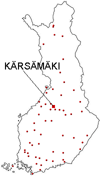
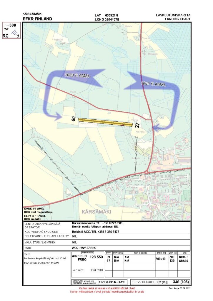
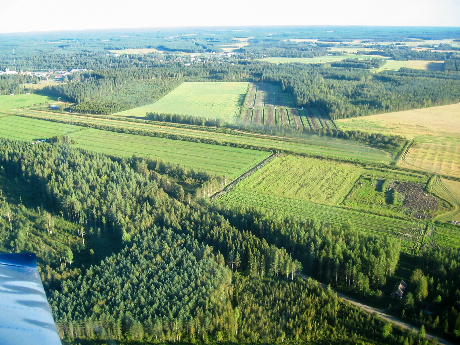
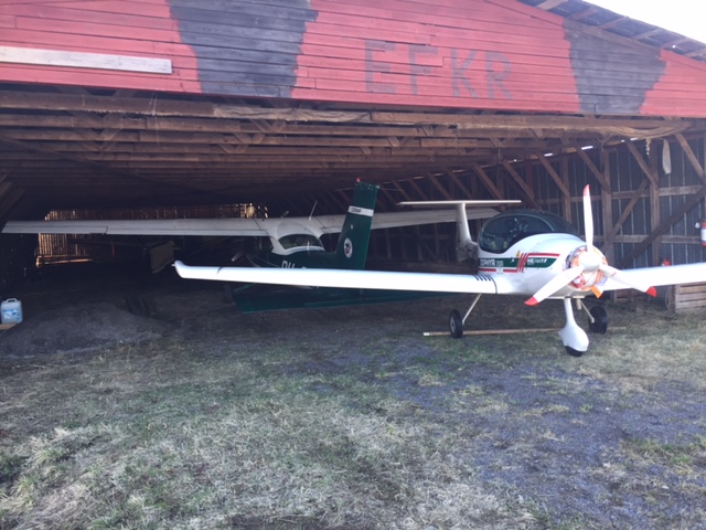
A small grass/gravel runway airfield in Kärsämäki municipality, the home of one Rallye and a Rans Coyote and a Murphy Renegade. Frequent visitors are also a Cardinal an Archer and an Zephyr. The field lies in the immediate vicinity of Kärsämäki centre and and highway No 4, additionally there is a camping site by the field. Right hand landing approach to runway 27.
3. Price Information:
NIL
4. The Airport:
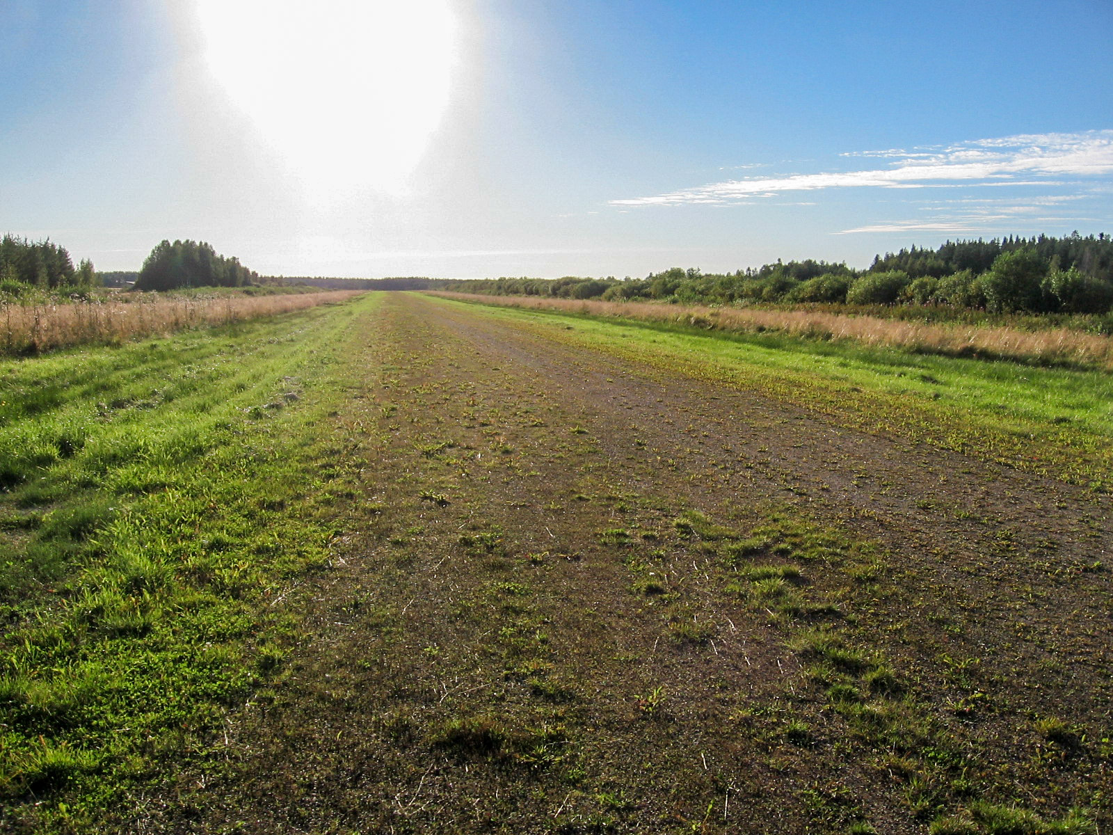
The runway surface is flat and hard though. Turning is advisable using the enlargements at the end of the runway. Higher trees at the end of RW 27 where also a mast is located on the left side. Due to this the threshold is moved forward 400 m.
5. Basic data:
Coordinates: 635922N 0254437E Runway: 09/27 – 700 x 10 m – Grass/gravel LDA: 09: 700 m, 27: 300 m Radio frequency: 123,550 Airport elevation: 106 m (348 ft) Fuel availability: NIL Announcements:NOTAM
6. Sight seeing and services
An interesting sight is the Paanukirkko church on the Pyhäjoki river bank. A sign on highway No 4, the church 500 m from the road. Service stations in the centre of Kärsämäki one km from the field, as well as shops and restaurants. Some 250 m from the field an accommodation establishment Suomela, offering tent space and old fashioned storing cabins for rent. There is a gas station about 500m from the field. Good place for aircraft capable of using mogas.
7. Contact information:
Airport Chief, Eino Ylitalo +358 40 0139429
Pyhäsalmen aviation club Ari Hintikka +358 400 282690
Taxi +358 8 771000.