1. Sunset and sunrise and the SERA definition of night
Finnish time today, 14.07.2026 - Night ends: - Sunrise: 03:25 - Sunset: 23:17 - Night begins:
Times tomorrow - Night ends tomorrow: - Sunrise tomorrow: 03:28 - sunset tomorrow: 23:14 - Night begins tomorrow:
2. General information:
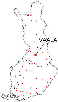
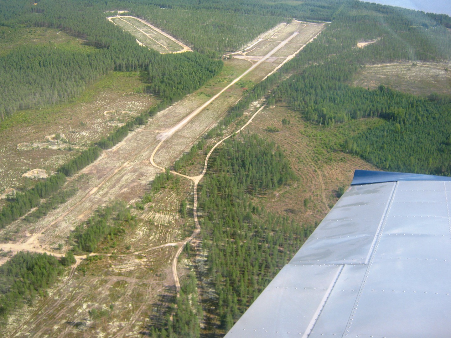
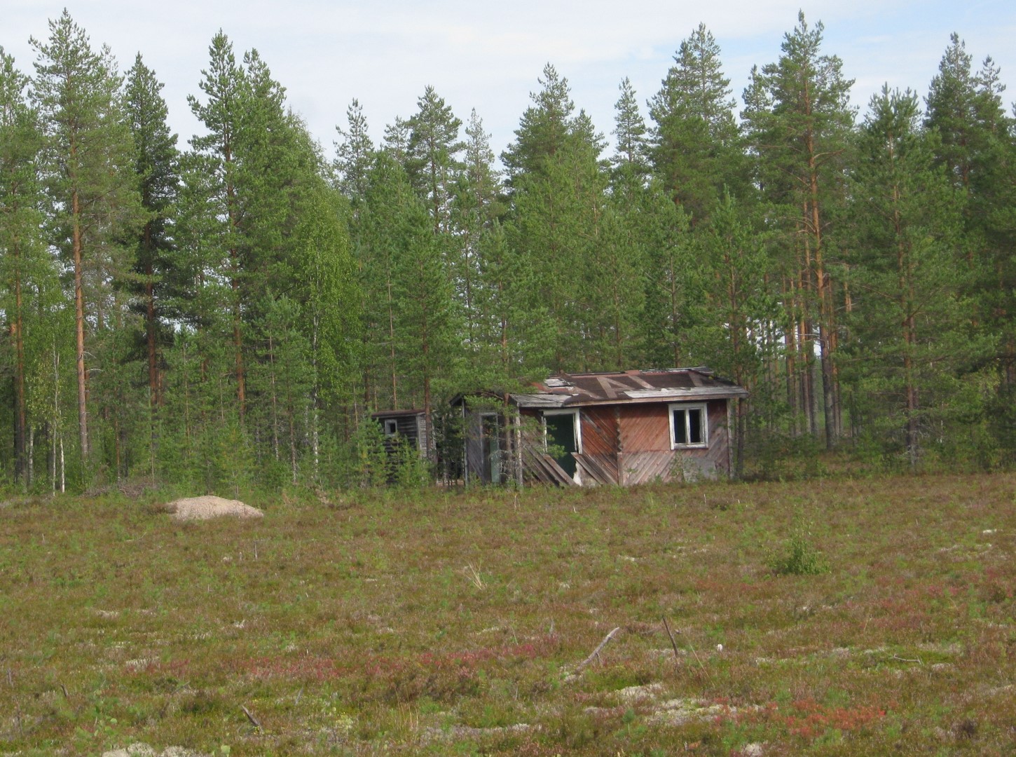
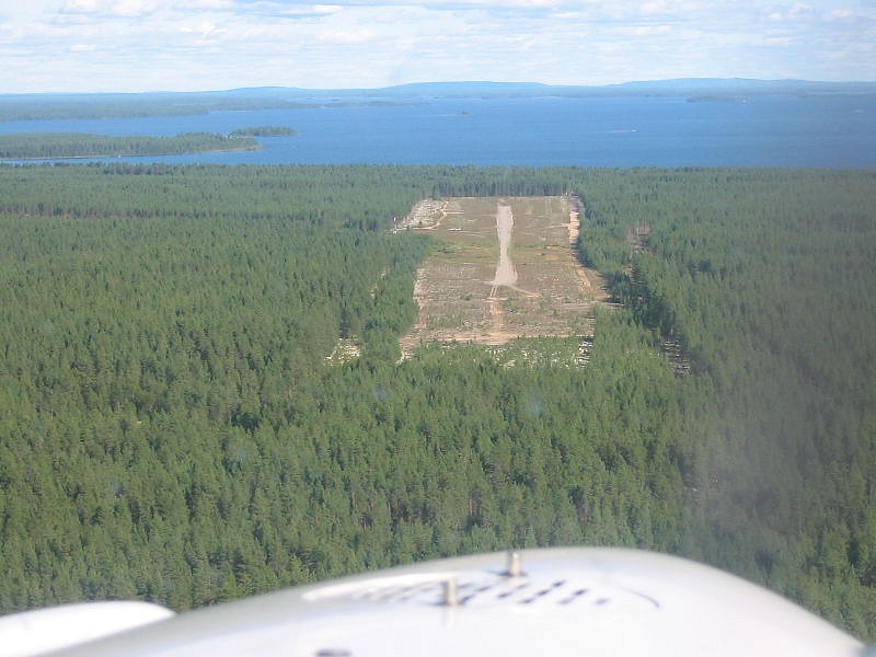
Vaala Airport is located about seven kilometers southwest of the church village of Vaala municipality, right next to the shoreline of Lake Oulujärvi. The runway is gravel. The airport has a windsock and signaling area on the north side of the runway and a notice board next to them. The field was originally built for military use, and there was a lot of activity there, especially during the Lapland War. In the 70s and 80s, Oulu clubs organized summer camps in the field, and even small-scale local activities were organized. There is currently no local aviation club on the ground. The field is managed and maintained by the municipality of Vaala.
3. Price Information:
NIL
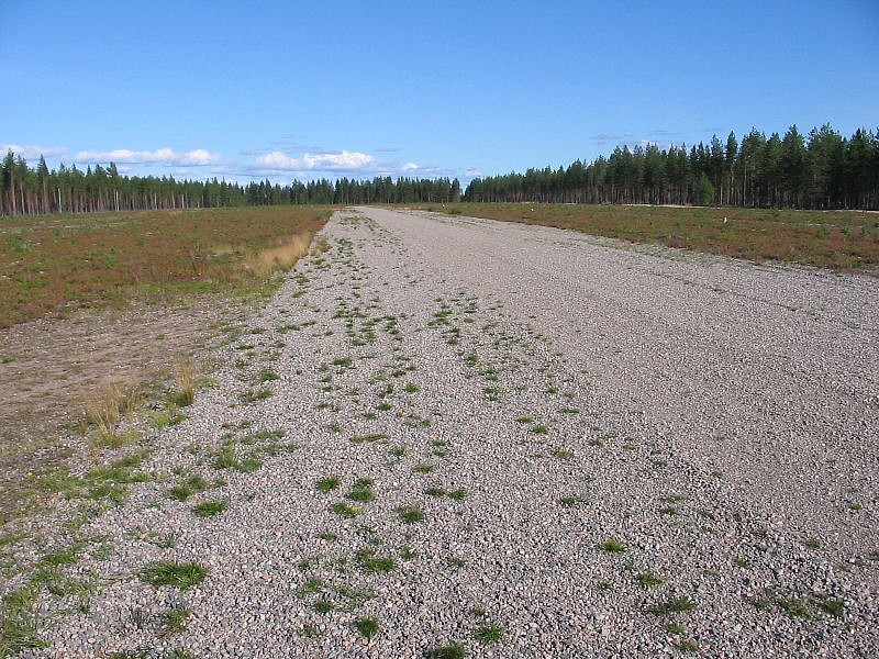
4. The Airport:
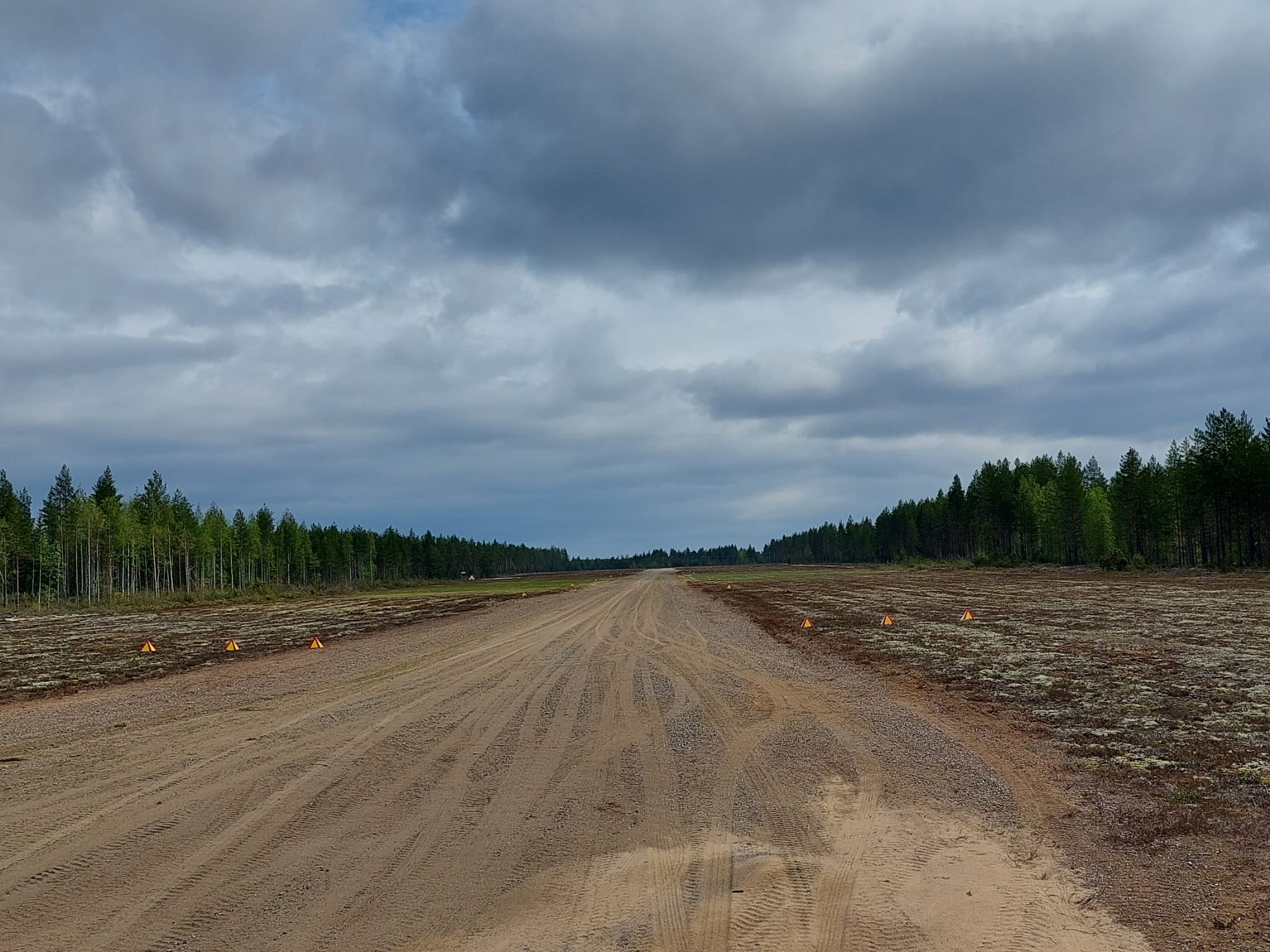
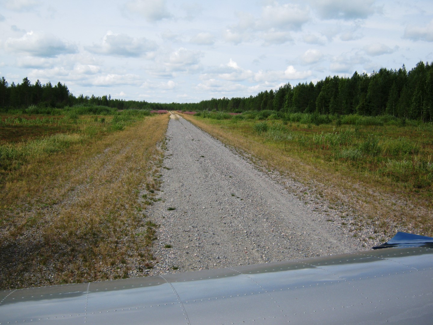
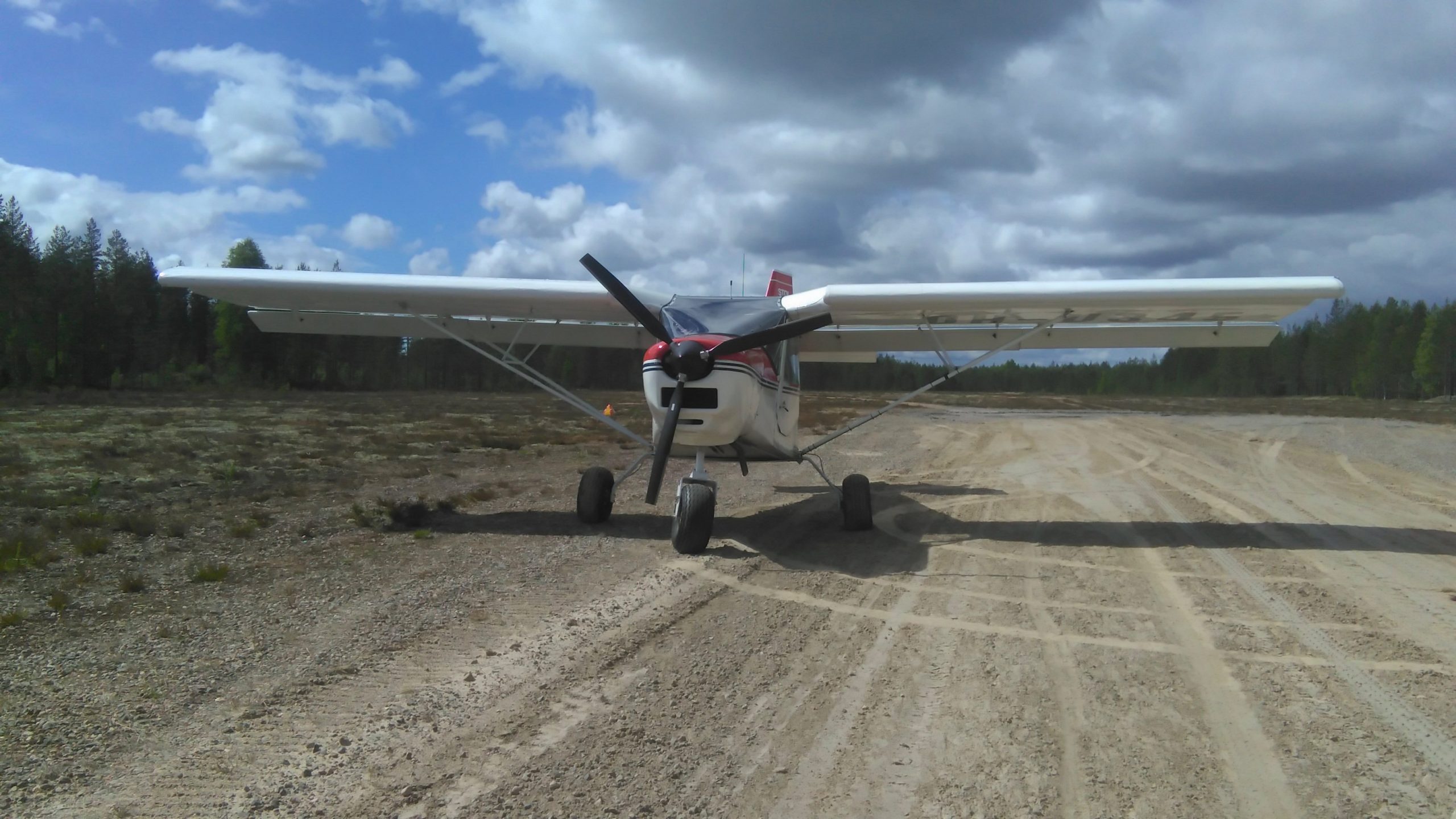
The runway and runway area were renovated in the spring of 2022. The runway has been dragged with a leveler and silt has been added to both ends for a distance of about 200 meters. The silt binds and hardens the gravel coating. After long periods of dryness, silt causes dust, especially during takeoff. The runway is leveled annually, but sometimes motor vehicles moving in the field area leave on the runway, so special care must be taken during landing and take-off. The runway is kept free of vegetation with annual mowing. From the middle stages of the runway, a dirt road turns towards the northern forest edge. The dirt road is suitable for taxiing the out of the runway area, but care must be taken when taxiing due to the uneven surface. Outside the dirt road, the surface may be bumpy. NOTE! No Winter Maintenance.
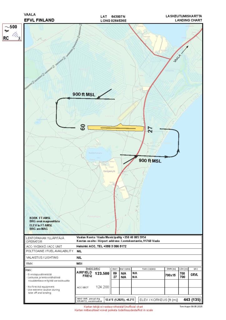
5. Basic data:
Coordinates: 643006N 0264520E Runway: 09/27 – 700 x 15 m – gravel LDA: 09: 700 m, 27: 700 m Radio frequency: 123,500 Airport elevation: 135 m (443 ft) Fuel availability: NIL Announcements: NOTAM
6. Sight seeing and services
From the air, the field is quite beautiful right next to the shoreline of Lake Oulujärvi: Oulujärvi’s wide ridges, kilometers of sandy beaches and numerous islands open to the north-east-southeast of the field. To the west of the field is Rokua National Park with its lichen-covered ridges and turquoise groundwater ponds.
The history of the war in the field area is reminiscent of several well-preserved machine halls. There are also plenty of attractions nearby. The holiday village of Oulujärvi with its cottages and sandy beaches is a few kilometers away. The village of Säräisniemi, a couple of kilometers away, is a beautiful cultural setting, with a wooden church completed in the late 18th century and a local history museum presenting the Vaala aerial bombing. Säräisniemi also has a restaurant and camping area, where you can rent canoes and mountain bikes or even book a guided fishing trip to Lake Oulujärvi. The center of Vaala with its services is seven kilometers away. From Oulujärvi to the Oulujoki River extends the UNESCO Geopark, which also includes the field area.