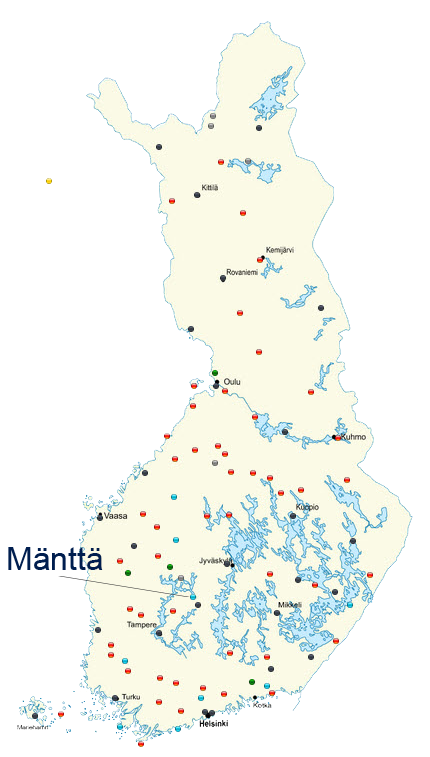
Mänttä
1. Sunset and sunrise and the SERA definition of night
| Finnish time today, 29.01.2026 - Night ends: 08:04 - Sunrise: 08:56 - Sunset: 16:15 - Night begins: 17:07 | Times tomorrow - Night ends tomorrow: 08:02 - Sunrise tomorrow: 08:54 - sunset tomorrow: 16:18 - Night begins tomorrow: 17:10 |
2. General information:
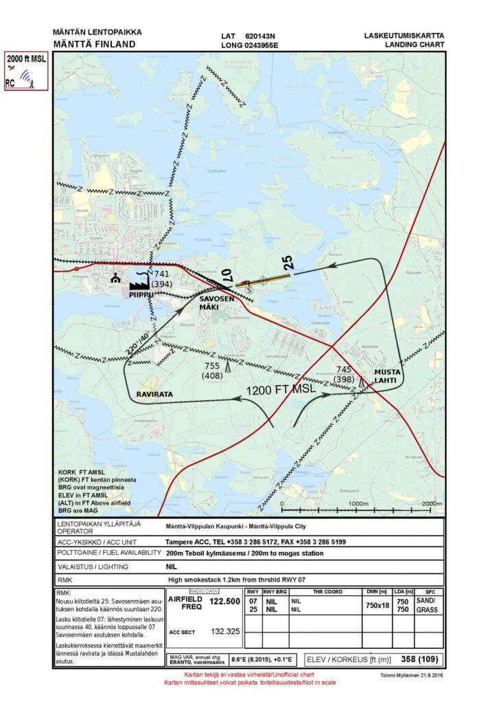
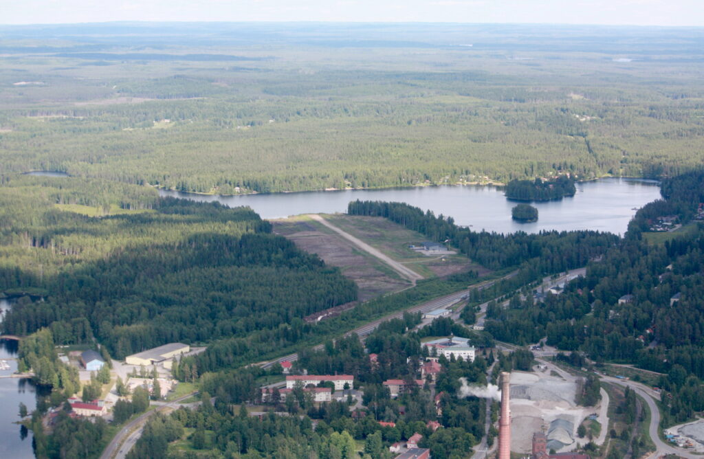
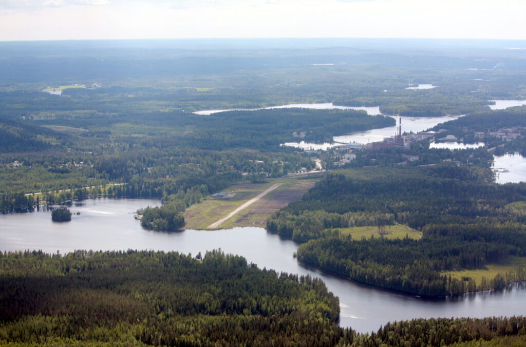
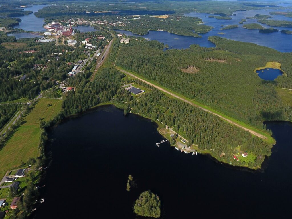
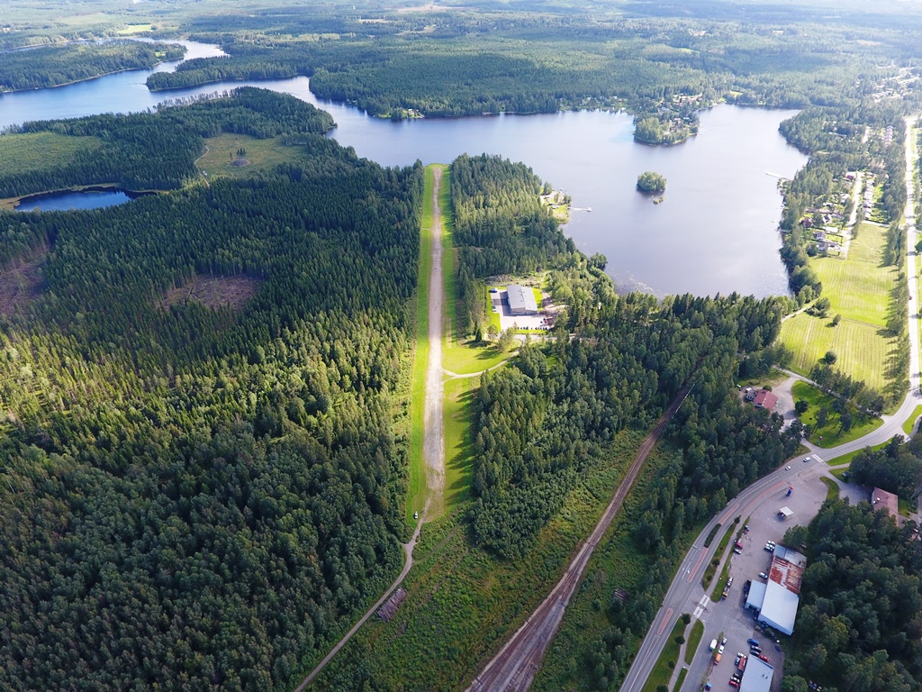
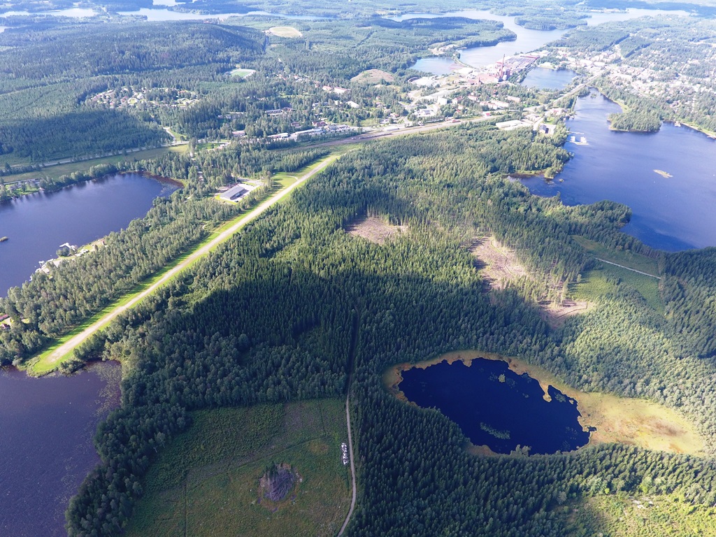
Mänttä’s gravel-surfaced unofficial airport was built in the early 1970s by G.A. As a base for Serlachius Oy’s fertilizer flights (runway 750 m x 18 m).
It was listed as an aerodrome until 1982, after which it was used by hobbyists. has continued with the landowner’s permission. Today the airport is owned by the city of Mänttä-Vilppula and the Sassin Ilmailijat ry is the local aviation association. There is an aircraft assembly school of the Sastamala Education Municipal Corporation (SASKY) on the field.
In the immediate vicinity of the airport is Teboil’s car cold storage station (200m). It is approx. 2 km to the center of Mänttä.
3. Price Information:
NIL
4. The Airport:
Good condition, gravel surface.
5. Basic data:
Coordinates: 620143N 0243955E
Runway(s): 07/25, 750 x 18 m, gravel
Radio frequency: 122.500
Elevation: 109 m (358 ft)
Fuel: Teboil Kylmäasema 200 m from the field
Type of field: Unofficial aerodrome
6. Sight seeing and services
On the west side of the field in Myllyranta’s decoration center (approx. 1 km) is the lunch cafe Veturitalli. 2 km to the center of Mänttä and Hotel-Ravintola Mänttän Klubi approx. 1.5 km.
7. Contact information:
The airport is owned by the city of Mänttä-Vilppula.
Airport Chief: Town Development Director, Ville Keränen +358 44 0979213
Sassin Ilmailijat ry. Tommi Myllärinen +358 50 5537 221
8. Links:
- ArtCity attractions:: http://www.manttavilppula.fi/taidekaupunki/

